Journey Along the Wasatch Mountains
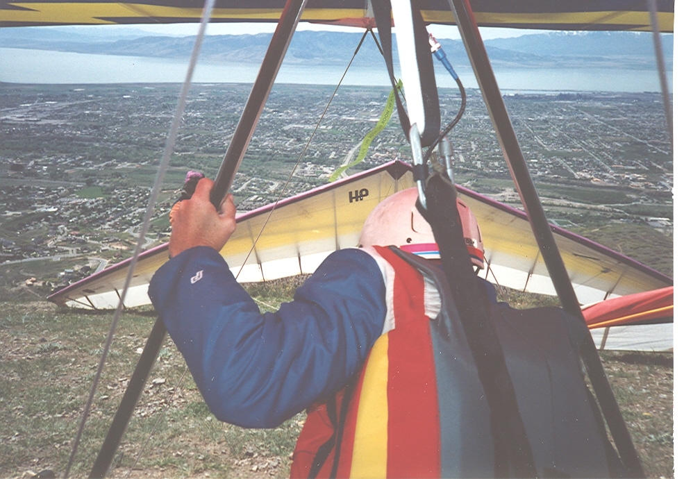
Looking west towards the city of Orem and Provo Utah. The pilot in front of me is Val and he is getting ready to fly his Wills Wing HP. I think HP stands for High Performance. Fun times ahead!
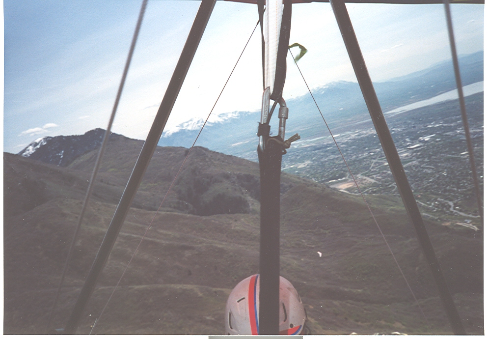
Using a thermal to climb in altitude. I was first to launch today and be what we all joke about – “the launch dummy”. The lift is in my favor today.
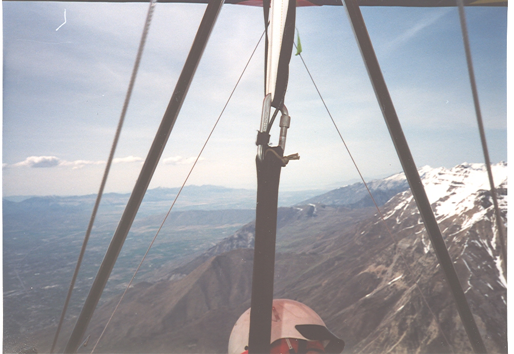
Looking north towards Mt. Timpanogas, the famous Point of the Mountain and the Great Salt Lake Valley. I’m looking over my right shoulder to see if the flash of my camera is working. With a little more altitude I will cross Provo Canyon and continue to fly north heading for Salt Lake City.
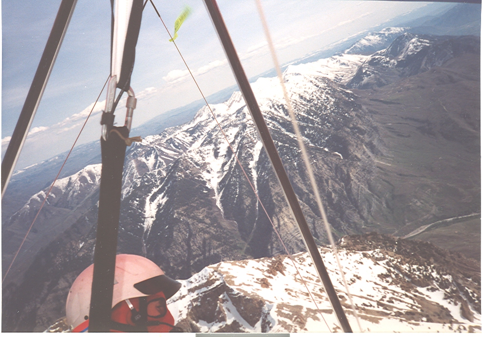
You can now see the road that heads east up Provo Canyon and the mountain range on the other side known as the Cascades.
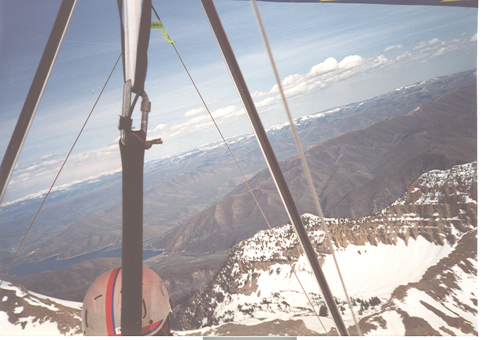
Looking east now towards Deer Creek Reservoir and in the distance the snow capped mountains known as the “High Uintahs”. A fun place for doing all kinds of mountain activities. Snowmobiling in the winter and camping in the summer.
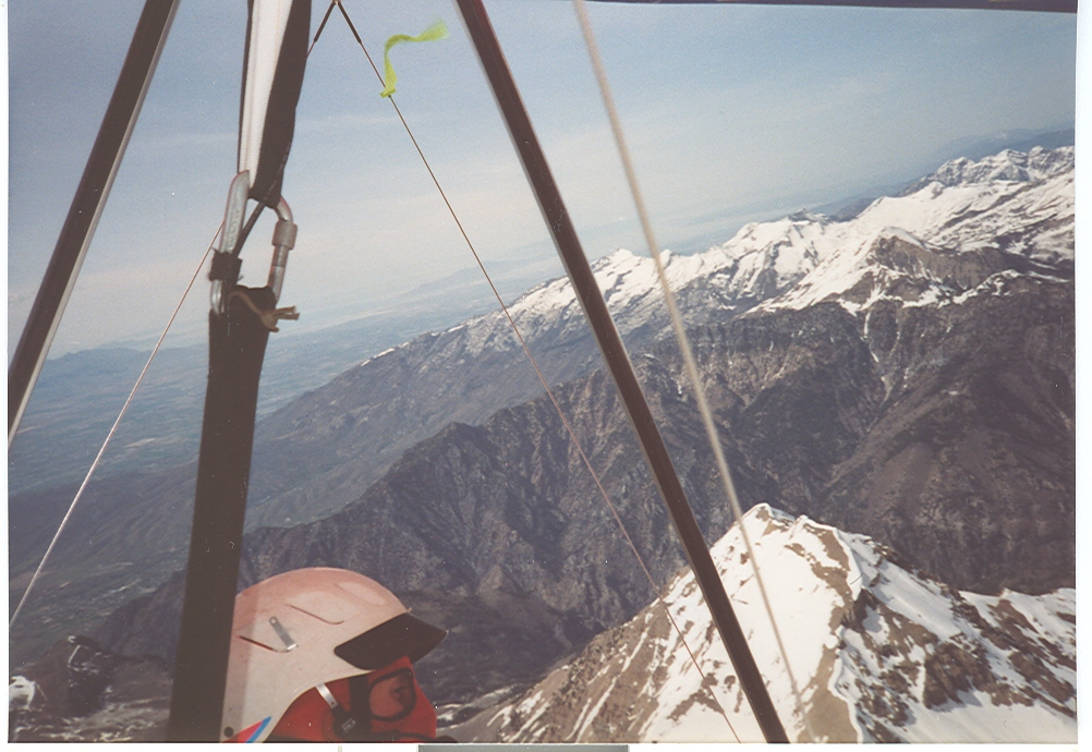
Moving north along Mt. Timpanogas and feeling good because most of the thermal activity has been very smooth and easy to follow.
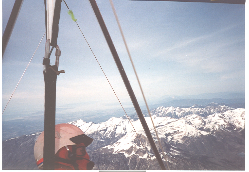
Here I am at 15,700 ft. with plenty of altitude. What a great view and having the glider perform the way it was designed to function.
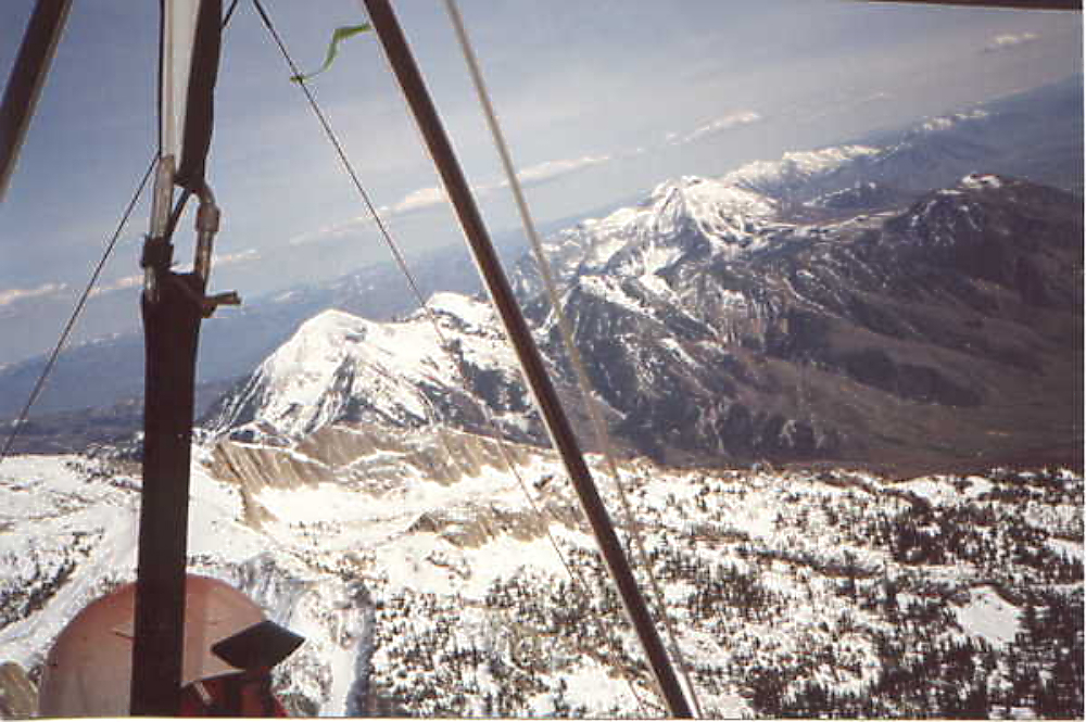
One step at a time or should I say … One Peak At A Time. Lone Peak is just above my helmet in the picture and Draper Utah is below me now. Time to head for Twin Peaks and Mt. Olympus if you are following along with the Peaks.
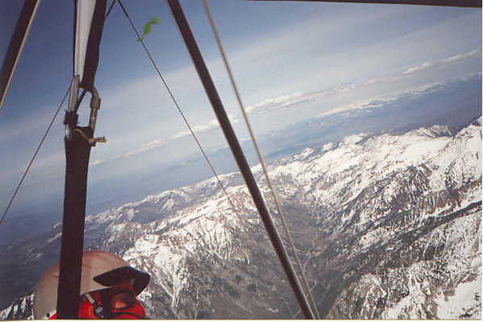
Looking up Little Cottonwood Canyon towards Snowbird and Alta Ski Resorts. Also, further east are the High Uintahs. I am at 16,400 according to my flight deck and the altimeter.
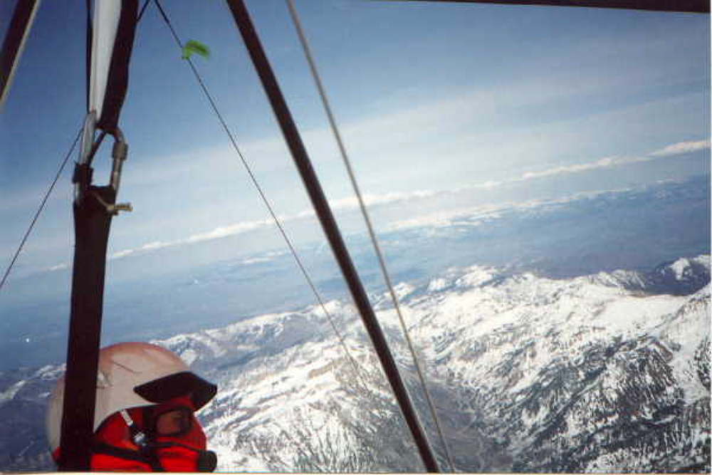
Still climbing and the altimeter showing me over 16,700 ft. at this point. This makes it easy to go any direction I want. Maybe I should head for Wyoming and make this flight an extended cross country adventure. How about Bountiful, Ogden, Brigham, maybe Logan? Too much fun! Would you agree?

Here is a picture of the glider I have been flying. This particular photo was taken at Commodore Peak for an article that was written in a local magazine for those who live in the Tooele Valley. More fun in the sun!
